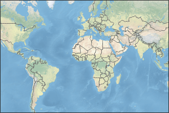
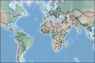
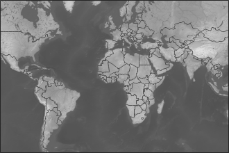
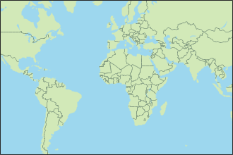
readBasemapImage
Syntax
Description
[
reads an image A,R,attrib] = readBasemapImage(basemap,latlim,lonlim)A from the basemap specified by
basemap for the geographic limits specified by
latlim and lonlim. The output argument
R contains spatial referencing information for the array and the
output argument attrib contains the basemap attribution. This syntax
returns an image using the highest possible zoom level with a maximum size of
2048-by-2048-by-3.
[___] = readBasemapImage(___,
reads the basemap for the zoom level specified by zoomLevel)zoomLevel. You can
use the zoomLevel argument with any combination of input arguments from
the previous syntaxes.
[___] = readBasemapImage(
reads the basemap at the specified map center and zoom level and returns an image of size
basemap,mapCenter,zoomLevel,rasterSize)rasterSize.
Examples
Input Arguments
Output Arguments
Tips
When displaying a figure that contains a basemap, ensure that the attribution is visible. If the attribution is not readable, then display the attribution somewhere else on the figure, such as in the title.
If you do not know the basemap, latitude-longitude limits, map center, or zoom level you want, you can open and explore a geographic axes by using the
geoaxesfunction.Change the basemap by using the
geobasemapfunction.Get the latitude-longitude limits by using the
geolimitsfunction.Get the map center by querying the
MapCenterproperty of the axes.gx = geoaxes; gx.MapCenter
Get the zoom level by querying the
ZoomLevelproperty of the axes.gx = geoaxes; gx.ZoomLevel
Version History
Introduced in R2022a


