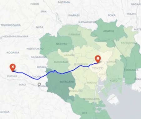
MATLAB MobileとPythonライブラリ folium によるGPSデータのプロット
This repo shows how to plot GNSS data obtained by MATLAB mobile using a python library, folium.

You are now following this Submission
- You will see updates in your followed content feed
- You may receive emails, depending on your communication preferences
Cite As
Kenta (2026). MATLAB MobileとPythonライブラリ folium によるGPSデータのプロット (https://github.com/KentaItakura/Visualize-geographical-data-using-folium/releases/tag/v1.0), GitHub. Retrieved .
General Information
- Version 1.0.0 (23.2 MB)
-
 View License on GitHub
MATLAB Release Compatibility
- Compatible with any release
Platform Compatibility
- Windows
- macOS
- Linux
| Version | Published | Release Notes | Action |
|---|---|---|---|
| 1.0.0 |
To view or report issues in this GitHub add-on, visit the GitHub Repository.
To view or report issues in this GitHub add-on, visit the GitHub Repository.

